Blogs
Passive and Active Sensors: Demystifying Satellite-Based Leak Detection
July 27, 2020

Satellites are outfitted with either active or passive sensors as a means of monitoring. Understanding each sensor’s purpose is vital to understanding the information that is transmitted back to the user. The sensors we are concerned about in this blog are those that monitor the earth through imagery collection. There are several types of imaging sensors, but they all fall into one of two categories: passive or active. We’re going to take a look at the similarities and differences between passive and active sensors here.
Passive sensors are devices that detect and measure natural or ambient energy, such as radiation or emitted signals, without actively transmitting any signals of their own. The camera on your phone is a passive sensor, receiving the reflected spectrum from the sun as it reflects off your body and clothes, thus capturing your likeness in a photo.
Passive sensors include radiometers, which are devices used for measuring the radiant flux of electromagnetic radiation, and spectrometers, which are optical instruments used to see spectral lines and measure their wavelength and intensity [1]. These sensors operate in the visible, infrared, thermal infrared, and microwave segments of the electromagnetic spectrum [1].

Active sensors both emit a pulse of energy and detect the reflected energy. An X-ray machine is an example of an active sensor. The x-ray machine sends energy into your body and measures what is reflected back to the sensor by impervious structures to that wavelength, such as bones.
Active sensors operate primarily in the microwave portion of the electromagnetic spectrum, which allows it to penetrate most atmospheric conditions such as cloud coverage, an issue that plagues passive sensors.

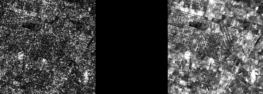
Utilis uses satellites that utilize active sensors, specifically synthetic aperture radar (SAR). This means that is has all weather capabilities (can see through clouds), can be operated during the day or night, and is sensitive to dielectric properties. Specifically, Utilis needs to use a SAR that operates in the wavelength range called “L-band.” This wavelength is large enough to penetrate the surface to the depth of three to ten wavelengths, allowing subsurface soil moisture to be detected.

SAR satellites measure the backscatter, which, “…returns [pulses back] to the radar as a weaker radar echo and is received by the antenna in a specific polarization (horizontal or vertical, not necessarily the same as the transmitted pulse),” [2]. The pulses are converted into a digital data set, which is further processed to remove speckle into an image that is utilized for our analysis.
The electromagnetic spectrum can be perceived in multiple ways, but when you think of light, what comes to mind? Is it something you can see? Or is it something more? Would you believe that what our eyes perceive only scratches the surface of the full spectrum of waves that reach our bodies? The electromagnetic spectrum of waves consists of everything from radio waves to gamma rays, both of which are invisible to the human eye.
Waves are measured using two different attributes: the frequency, which is measured in hertz (Hz), which counts the number of wavelengths that pass in a second, and wavelength, which is the distance between amplitude peaks. These attributes are inversely related, which means the larger the wavelength, the shorter the frequency and visa versa.
Visible light is the spectrum that we can see, and it ranges in wavelength between 700 and 400 nm. They are interpreted as different colors by our brains: the shortest the wavelength is violet, and the longest wavelength is red.
The Synthetic Aperture Radar (SAR) sensor that Utilis uses operates in the L-Band frequency, which is a long wavelength of 15-30 cm, and a frequency of 2-1 gigahertz (GHz). This band can penetrate the ground in the range of three to 10 wavelengths (equivalent to 0.5 to 3 m) and allows us to search for soil moisture underground. Shorter wavelengths such as C-band or X-band reflect completely off the surface, therefore work better for purposes such as sea ice detection and tracking of metallic vehicles.
I hope you had fun learning about the different types of passive sensors and active sensors as well as how Utilis uses the data we receive from them. Tune in soon for part 3 of the Utilis blog learning series.
Until Next Time!
~Kati B.
[1] Earthdata. “Remote Sensors.” NASA, NASA, 20 Jan. 2020, earthdata.nasa.gov/learn/remote-sensors.
[2] Freeman, Tony. “What Is Imaging Radar?” NASA, Jet Propulsion Laboratory, airsar.jpl.nasa.gov/documents/genairsar/radar.html.

Spain is one European country seeing a steady increase in population growth, along with an uptick in urbanization. While scaling...

We are three months into 2024, and the exponential growth ASTERRA experienced in 2023 continues. As the pioneer of sustainable,...

It’s no secret that urban areas are growing, and the migration of more people creates strains on infrastructure and services....